
Floods are one of the most deadly natural disasters, killing millions and displacing many more. But not all floods are the same. Flood research, forecasting and response often concentrates on large-scale river floods at the expense of faster and often deadlier flash flood events.
This project is aligned with the Group on Earth Observations (GEO) 2017-2019 work program for the Initiative for Global Flood Risk Monitoring.
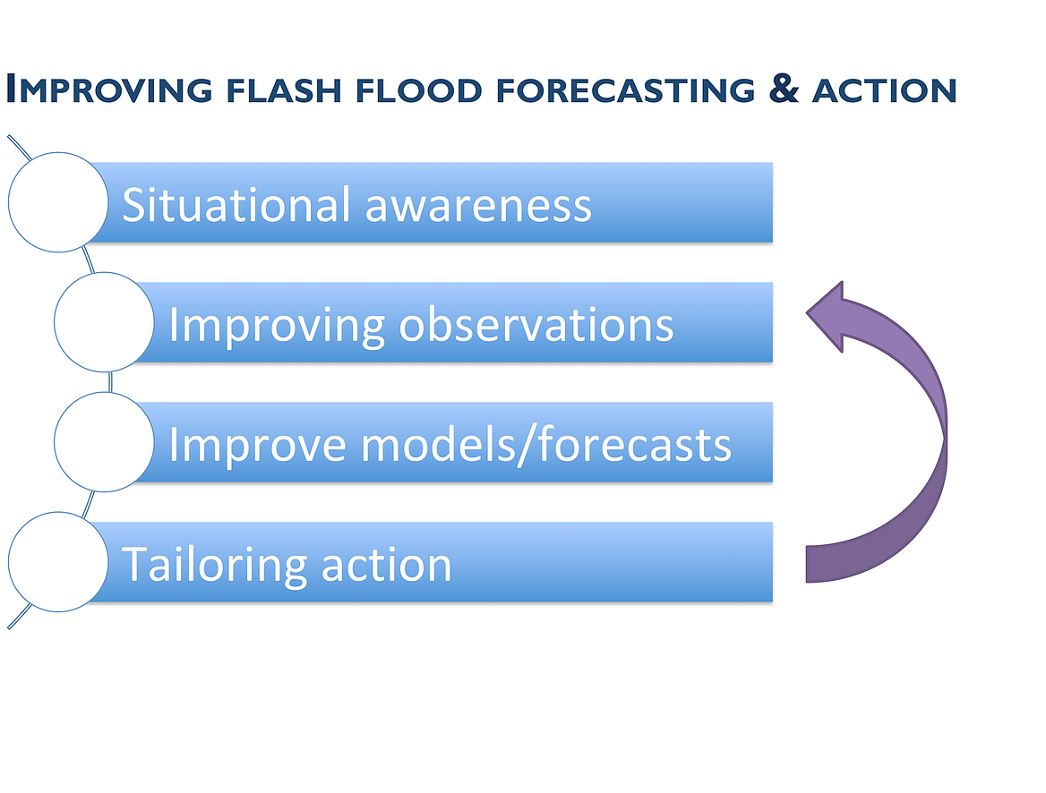
Download our info sheet [ENGLISH | ESPANOL]
Flood type matters. Longer time-scale riverine floods require different forecasting timescales and response to urban flash flooding due to rainfall run-off, or to flooding due to a dam collapsing. A core part of the project is exploring the classifications, vulnerability, available forecasts and potential actions for different types of flood. Further, understanding the mandates and governance around taking action at national and sub-national levels are complex and need to be explored.
The local (and fast) scales of flash floods mean that it is difficult to keep good records of global flash flood extent and impact, especially as many flood databases don’t distinguish between flood types. Model based flash flood maps do exist, but these don’t capture the socio-economic drivers behind flash flood impact. New research is working to fill this gap, to create maps of flash flood vulnerability and impact. We’re aiming to support the effort by integrating impact databases held by disaster response agencies with existing flash flood datasets. The goal is not to create a new dataset for floods, but rather move towards the development of a compendium of high quality flash flood reports and case studies.
Recent years have seen the rise of a new generation of flash flood forecasts including EF5 within the Flooded Locations and Simulated Hydrographs (FLASH) suite of tools runs by the U.S. National Weather Service for flash flood monitoring and prediction. These have only been validated so far at a global scale. We’re using the impact data we’re collecting in this project and the Global Runoff Data Centre (GRDC) collection of streamflow data to validate the models, then to see how they perform in real time.
Read more about EF5 here: http://ef5.ou.edu/
The Open Commons Consortium (OCC) will save these EF5 outputs into the environmental data commons hosted on the Open Science Data Cloud. Combining remotely sensed satellite data and hydrologic model outputs would allow for the creation of data driven flood extent maps. In forecast mode forecast values of streamflow will serve as input into a lookup table of the flood extents for the areas of the classified satellite images, serving as a novel approach to flood extent forecasting.
Read more about Open Data Commons here: http://occ-data.org/
Appropriate preparedness and response to floods saves lives. But flood events are often complicated to manage, especially if different flood types are happening at the same time in an area of responsibility. It’s impossible to know which forecast to trust. We’re working with partners in disaster management, including Red Cross + Red Crescent National Societies, to understand how they prepare and respond to flash flood events. Our end-goal is to support the creation of frameworks for flash flood Standard Operating Procedures.

Principle Investigator

Co-Investigator/Science PI

Co-Investigator

UX Designer

Research Assistant

Research Assistant

Research Assistant

UG Research Assistant

Collaborator

Project Advisor
